Ohio Ag Net | Ohio's Country Journal Ohio Ag Net | Ohio's Country Journal

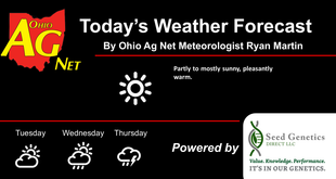
Sunny and pleasant again to finish the week. Temps warm some for the weekend and early next week, but we stay precipitation free through the entire period. We will continue to watch some scattered showers associated with a front in the Great Lakes late this weekend and for early next week. These predominately are a MI story, but clouds associated with them can slide farther south.
The second half of next week features scattered showers around for Wednesday and Thursday, but we have only 60% coverage combined in that set up. The map below shows 2 day precipitation potential. Drier weather returns for Friday, Saturday and most of Sunday. Labor Day Monday can give us a few showers, but only with 30% coverage.

Showers and thunderstorms are back for Wednesday the 9th and Thursday the 10th. However, this precipitation threat has decreased in coverage, back to around 50%. We reiterate that the overall pattern is dominated by a large hot dome to the south and southwest, with colder Canadian air to the NE. The zone between the two is where the biggest precipitation potential lies next week and the week following, and right now the air masses are battling for position…that means we likely keep moisture in and around the periods mentioned in this forecast, but exact dry days vs wet ones are still to be determined as we get closer to the event.