Ohio Ag Net | Ohio's Country Journal Ohio Ag Net | Ohio's Country Journal
By Aaron Wilson, Ohio State University Extension
Climate rankings for August showed that August 2025 was the driest August on record for Ohio (1895-2025). Conditions through the first three weeks of September have not improved, as the entire state has had below normal preciptiation over the last 30 days (Figure 1). Last week’s U.S. Drought Monitor shows that about 2% of Ohio is in D3-extreme drought (e.g., Carroll, Columbiana, and Jefferson Counties) with about 95% of the state in some drought category (D1-D3). With warmer temperatures over the last couple of weeks, conditions have worsened with rapid crop transition or death (late planted crops), low farm ponds, poor pastures, increased water hauling and fire risk. Please consider submitting your observations to the National Drought Mitigation Center’s Condition Monitoring Observer Reports platform. For the latest drought conditions and agricultural resources, please visit our Drought Conditions and Resources page or the State Climate Office of Ohio.
Weather forecast
An unusual pattern, a cut-off low (existing outside of the typical steering currents that help systems move), is meandering across the central U.S. This has already kicked off a couple of rounds of showers and storms on Sunday and Monday. This low will be stubborn to move out, bringing additional rounds of showers and storms to the area from Tuesday through Friday this week. High temperatures will climb mainly into the 70s with overnight lows in 50s and 60s. Drier weather will resume by the weekend through the first half of next week. The National Weather Service is currently forecasting 0.5-2 inches of rain across western Ohio and 1.5-3 inches across eastern counties over the next 7 days (Figure 2). This rainfall is welcome relief and if verified, will slow or halt the progress of drought over the next couple of weeks.

Figure 2: Total precipitation forecast for the period 8pm September 22 – 29. Figure courtesy of the National Weather Service Ohio River Forecast Center in Wilmington, Ohio.
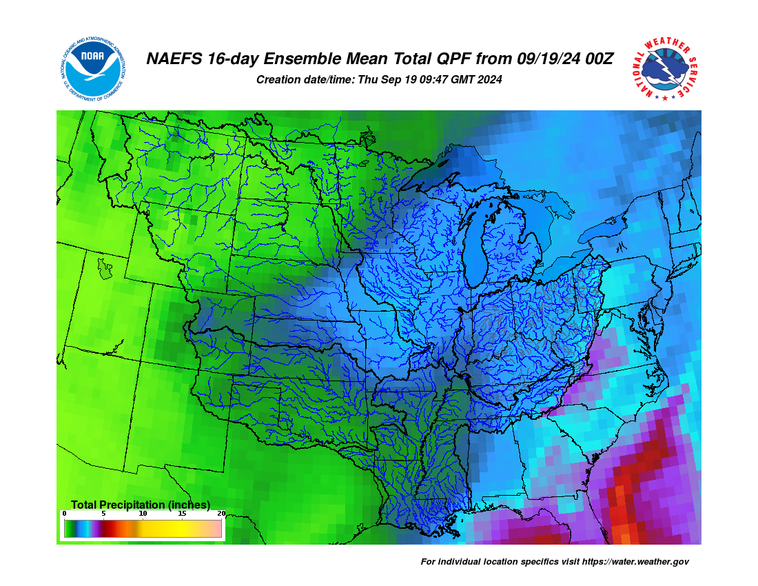
The 8-14 day outlook from the Climate Prediction Center for the period of September 30 – October 6, 2025 and the 16-Day Rainfall Outlook from NOAA/NWS/Ohio River Forecast Center show warmer than normal temperatures and below normal precipitation are probable (Figure 3). Climatological normals for this period include a high-temperature range of 72-76°F, a low-temperature range of 49-54°F, and weekly total precipitation of 0.70 – 0.90 inches.

Figure 3) Climate Prediction Center 8-14 Day Outlook valid for September 30 – October 6, 2025, for left) temperatures and right) precipitation. Colors represent the probability of below, normal, or above normal conditions.